British History
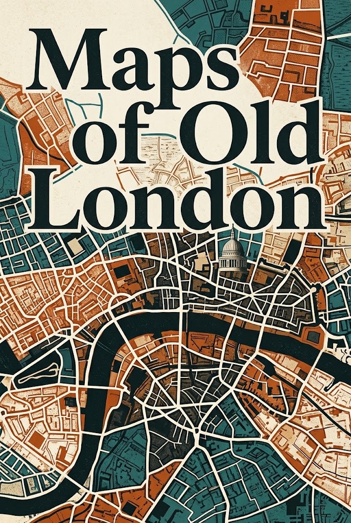
Maps of Old London
av Unknown
"Maps of Old London" by G.
32,6 kr
Prisen er eksklusiv VAT, som legges til i kassen. Ingen abonnement.
- Levert umiddelbart — filene dine er klare så snart betalingen går gjennom.
- Uten DRM, så den åpnes på leseren du allerede har.
- Din å beholde — en evigvarende lisens, ikke et leieforhold.
Om denne boken
"Maps of Old London" by G. E. Mitton is a historical collection of cartographic representations that explores the evolution of London through various maps created from the 16th to the 18th century. Written in the early 20th century, the book serves as an atlas, compiling significant maps by prominent cartographers such as Anthony Van den Wyngaerde, Ralph Agas, John Norden, William Faithorne, and John Rocque. The primary focus of the book is to illustrate London's architectural and geographical changes over centuries, showcasing how the city developed over time. The content of the book provides readers with detailed descriptions of each map, including the original designers and the historical context surrounding their creation. Each section delves into the unique characteristics of the depicted London at different periods, providing insight into the architectural styles, prominent landmarks, and general layout of the city. The book not only serves as a visual representation of London's growth but also enhances the reader's understanding of the social and urban dynamics of the time, making it an invaluable resource for historians, cartographers, and anyone interested in the rich tapestry of London's history.
- Format
- EPUB
- Språk
- Engelsk
- Omfang
- 43 sider
- Forlag
- DigiCat
Detaljer
Mer av denne forfatteren
Se alle
Andre i hyllen British History
Se alle
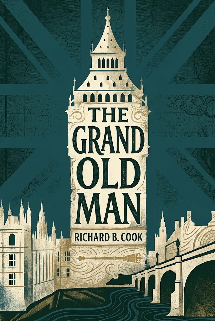
The Grand Old Man Or, the Life and Public Services of the Right Honorable William Ewart Gladstone, Four Times Prime Minister of England
Richard B. (Richard Briscoe) Cook
87,11 kr